Good Morning. This is Eric Knoff with the Gallatin National Forest Avalanche Advisory issued on Thursday, December 17 at 7:30 a.m. K2 Café and Deli, in cooperation with the Friends of the Avalanche Center, sponsor today's advisory. This advisory does not apply to operating ski areas.
In the past 24 hours the mountains around West Yellowstone have picked up 2 inches of new snow while the northern Madison range and mountains around Cooke City received and an inch. A moist westerly flow will bring strong winds and continued snow showers to our region throughout the day. This moisture will give the southern mountains an additional 1-3 inches while the northern Madison and Gallatin ranges along with the Bridgers will pick up 1-2 inches. Strong westerly winds will reach 20-30 mph on the ridgetops while the lower elevations will see calmer winds at 10-15 mph. Temperatures will remain above average with daytime highs reaching the upper thirties and nighttime lows sinking into the teens. As a weak high pressure begins to build on Friday we can expect cooler and drier conditions.
The southern Gallatin and southern Madison Ranges, the Lionhead Area near West Yellowstone, the mountains outside Cooke City and the Washburn Range:
It continues to snow and the winds proceed to blow. Over the past five days, more than a foot of snow has fallen around West Yellowstone and more than two feet has fallen outside of Cooke City. As the snowpack tries to adjust to this load, the stress keeps on building. Strong winds out of the W-SW along with light precipitation continue to stress this already fragile snowpack. Human triggered avalanches will be likely on wind loaded slopes and careful route finding will be required when traveling in avalanche terrain.
Jay and I spent the past two days in Cooke City working with the Park County Search and Rescue and we all experienced this weak snowpack first hand. As we toured around the Mt Henderson area we observed large amounts of whumphing and collapsing, obvious signs of instability. We also encountered easy failures with our compression tests as the large amount of new snow sheared cleanly on the thick layer of facets formed from the cold snap two weeks ago.
Similar conditions exist in the Lionhead area near West Yellowstone. Strong winds and new snow have pushed the snowpack to the point of failure. Slopes that have received wind loading will be very likely to produce avalanches.
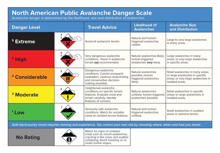
With more snow today, the avalanche danger is rated HIGH on all wind loaded slopes. All other slopes have a CONSIDERABLE avalanche danger.
The Bridger, northern Gallatin and northern Madison Ranges:
The northern Madison Range received an inch of snow in the past 24 with strong W-SW winds. This may seem like an insignificant amount of snow, but in reality that's all it takes. As winds scour certain areas others become quickly loaded. Wind can turn this one inch into one foot in a matter of hours. Rapid wind loading is hard to predict and can turn safe slopes in the dangerous avalanche zones very quickly. Yesterday, a group of snowmobilers on Buck Ridge reported heavy wind loading on east facing slopes with notable signs of instability. The most obvious sign was an avalanche they remotely triggered from 30 ft away. This avalanche broke up to three feet deep on a SE facing slope and was a wind slab deposited on facets. See photo on the right. The Big Sky Ski Patrol also reported triggering an avalanche on a SE facing slope at 8,000 ft. This slide released on a ski cut 18" deep and slide path ran as big as it has in years.
The northern Gallatin Range along with the Bridgers have received less snow over the past week, but continue to produce avalanches. Wind slabs overlaying facets continue to be the main problem. Yesterday, Mark went avalanche hunting on to Mt Blackmore and got what he was looking for. Mark triggered an avalanche on the same slope that a skier was caught on over a week ago. This avalanche fractured a foot deep, 100 ft across and ran over 200 vertical. Today, dangerous avalanche conditions do exist on all wind loaded slopes. Careful snowpack evaluation, cautious route finding and conservative decision-making are essential when traveling in the backcountry.
See video of Mark's avalanche: http://www.youtube.com/watch?v=BmXFbnlBVK4
Human triggered avalanches are definitely possible on slopes without wind deposited snow where a MODERATE avalanche danger exists. Today the avalanche danger is rated CONSIDERABLE on all wind loaded slopes.
Mark will issue the next advisory tomorrow morning at 7:30 a.m. If you get out in the backcountry give us a call or email with your observations. You can reach us at 587-6984 or email us at mtavalanche@gmail.com.
HYALITE ACCIDENT REPORT
We posted the accident report on the avalanche that killed Guy Lacelle in Hyalite Canyon on Thursday. You can read it out on our Accidents page at: http://www.mtavalanche.com/accident/09/12/13
TWEET TWEET: STAY IN THE LOOP
We're using Twitter to update folks at all hours on the snowpack, avalanches, accidents and other worthy topics. Check out our tweets at http://www.mtavalanche.com/twitter or http://twitter.com/avalancheguys.
AVALANCHE EDUCATION
1. WEST YELLOWSTONE: TWO DAY GUIDES COURSE. On Thursday, December 17, (noon-5pm) at the Holiday Inn is an afternoon of avalanche lectures. Friday, December 18, will be in the field. Registration is NOT required. More info at: http://www.mtavalanche.com/education/classes/snowmobilers
2. BOZEMAN: Montana Outdoor Science School is offering a Level 1 Avalanche Course January 7-10. For more information, contact Moss at 406-582-0526.