Good Morning. This is Eric Knoff with the Gallatin National Forest Avalanche Advisory issued on Sunday, January 24, at 7:30 a.m. Gallatin County Search and Rescue, in cooperation with the Friends of the Avalanche Center, sponsor today's advisory. This advisory does not apply to operating ski areas.
The snow gods are finally smiling on southwestern Montana. In the past 24 hours, 11 inches of new snow has fallen in the Bridger Range while northern Gallatin and Madison Ranges picked up 4-6 inches. 1-3 inches has fallen in the southern Ranges.
As this cold winter storm moves off to the east, colder and drier conditions will shift into our advisory area. High temperatures today will struggle to reach 20 degrees F with lows dropping to single digits above or below zero. Winds will remain out of the W-NW at 10-20 mph along the mountain ridgetops.
The Southern Gallatin and Southern Madison Ranges, and the Lionhead area near West Yellowstone:
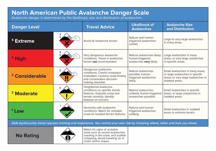
In the past 48 hours, a good shot of snow has blanketed the southern ranges, which have received 10-12 inches of new snow. This fresh snow may seem like a nice reset for the riding conditions, but it is not so good for the avalanche hazard. With a storm total of close to an inch of water, the weak faceted snow 2-3 feet below the surface is struggling to support this new load. Deep slab instability remains a serious concern with the greatest danger existing on steep, rocky slopes where shallow areas will make it easier to impact the buried weak layer. Strong winds during the past few days have also added additional stress to the snowpack. Winds have recently shifted from the W-SW to the NW, loading a wide spectrum of easterly facing slopes. Slopes that are freshly wind loaded will be extremely sensitive making avalanches easy to trigger from a distance. Avalanches within the new snow will be more common, but avalanches breaking down to these deep buried weak layers remain a major concern. For today, a HIGH avalanche danger exists on all wind loaded slopes and slopes steeper than 35 degrees, a CONSIDERABLE avalanche danger exist on all other slopes.
Northern Madison Range
In the past few days the mountains around Big Sky have picked up 8-10 inches of new snow. This fresh load does not quite match the 12 inches that fell in the Lionhead area near West Yellowstone, but it is still enough to make for dangerous avalanche conditions. Slopes that have received fresh wind loading will be the most dangerous with human triggered avalanches likely in these areas. Yesterday, the Big Sky ski patrol reported wind slabs that broke up to a foot deep and were easily triggered with ski cuts and explosives. The Moonlight Basin Ski Patrol also reported similar conditions. Although freshly formed wind slabs may be our greatest concern, the chance of triggering a deep slab avalanche remains a good possibility. Deep buried facets 2-3 feet below the surface exist on all aspects and elevations making the snowpack unpredictable and unreliable. Yesterday, a group of skiers in Beehive Basin reported collapsing and cracking, an obvious sign of snowpack instability. Avalanches breaking on these deep buried layers will not be as widespread as new snow avalanches but will be much larger and more destructive. For today, a HIGH avalanche danger exists on all wind loaded slopes while a CONSIDERABLE avalanche danger exists on all non-wind loaded slopes.
Northern Gallatin Range, the Bridger Range, and Mountains around Cooke City
The overall stability in the mountains around Bozeman Cooke City has improved, but the addition of 10-15 inches of new snow over the past 48 hours has increased the avalanche danger. The main avalanche concern will be freshly formed wind slabs along the ridgetops. With strong winds out of the W-NW you can expect to find heavy loading on slopes with an east facing aspect. These freshly formed wind slabs will be very sensitive and will easily fail under the weight of a skier or rider. Once again wind slabs are not our only concern. Deep buried facets remain in the snowpack making conditions variable and unpredictable. Digging multiple snowpits and doing a careful assessment of each slope before jumping in is highly advised. Yesterday I skied Mt Ellis and dug multiple snowpits before taking a conservative line down the right shoulder. I did find good skiing, but obvious signs instability within the new snow were present on all slopes. For today, a HIGH avalanche danger exists on all wind loaded slopes. A CONSIDERABLE avalanche danger exists on non wind loaded slopes steeper than 35 degrees and a MODERATE avalanche danger exists on less steep slopes that have not received wind loading.
I will issue the next advisory tomorrow morning at 7:30 a.m. If you get out in the backcountry give us a call or email with your observations. You can reach us at 587-6984 or email us at mtavalanche@gmail.com.
Avalanche Education
Education Calendar
1. Four Corners Groomer Shack
RESCUE LECTURE: Tuesday, January 26th 7pm. The Gallatin Valley Snowmobile Association is having it annual Chili Feed at 6:30pm in the Groomer Shack at 4 corners.
2. Billings
Avalanche Awareness and Rescue Class-Wednesday, January 27th, 6-9 pm at Beartooth Harley.
3. Big Sky
Moonlight Basin Avalanche Course: Join Moonlight Basin for a comprehensive, two-day and one evening avalanche awareness class. Thursday, Jan 28th 5-9:30pm and Friday and Saturday, Jan 29&30 8am-4pm. Contact: events@moonlightbasin.com or 406-993-6026
4. Bozeman
BASIC AVALANCHE WORKSHOP: The Friends of the Avalanche Center and ASMSU Outdoor Rec are offering a Basic Avalanche Awareness Class the evenings Wed, Thur, 27 & 28 January with a field day on Saturday, 30 January. $25 donation. No sign up required. http://www.mtavalanche.com/education/classes/basic
5. West Yellowstone, Holiday Inn
One-hour Avalanche Awareness Class - Saturday, January 30th - 7pm to 8pm