Good morning. This is Karl Birkeland with the Gallatin National Forest Avalanche Advisory issued on Friday, March 6th, 2009 at 7:30 a.m. Gallatin County Search and Rescue, in cooperation with the Friends of the Avalanche Center, sponsor today’s advisory. This advisory does not apply to operating ski areas.
We’ve had a bit of a break in snowfall since yesterday morning. Overnight only the southern Madison Range and the mountains around Cooke City and West Yellowstone picked up snow, receiving anywhere from 2 to 4 inches. Storm totals from Wednesday through Thursday morning are impressive, with mountain locations picking up 1.5 to 2.5 feet of new snow containing from 1 to 2.5 inches of snow water equivalent. Winds have also been a big part of the equation. Ridgetop winds have been 20 to 30 mph, while our weather instrumentation is also showing strong winds at lower elevation locations yesterday and through last night. Today we’ve got another band of moisture moving through. Most of the storm energy is west and south of us, but we should still receive snow. Snow is just starting this morning, and I’m expecting it to end by late-afternoon. Our northern areas should pick up 3 to 6 inches of new snow, while southern areas will get anywhere from 6 to 10 inches. Winds should decrease from yesterday, but will still be about 10 to 20 mph on the ridges.
The Bridger, Gallatin and Madison Ranges, the Lionhead area near West Yellowstone, the mountains around Cooke City and the Washburn Range:
With all the new snow and wind from this past storm, it was no surprise that yesterday was an active avalanche day. All our local ski patrols reported widespread avalanche activity with both explosives and ski cuts during their avalanche mitigation work. The most notable backcountry avalanche was in the Buck Ridge area south of Big Sky. A group of snowmobilers were off their sleds and trying to find their way into 2nd Yellowmule in marginal visibility when they approached a cornice. As they were getting ready to turn around the cornice broke 20 feet back from the edge, taking one rider with it. The rider and the cornice hit the slope, triggering an avalanche about 2 feet deep and 75 feet wide. The person deployed the airbag he was wearing as he was carried about 100 vertical feet by the avalanche. Luckily, he came to rest with his head, arm, and shoulder out of the snow and he was quickly extricated by his partners. You can see some photos on our website:
http://www.mtavalanche.com/photos/photos.php
Farther south, Mark was in Taylor Fork and he saw plenty of evidence of unstable snow. He and his partner observed numerous natural avalanches on windloaded slopes, and they experienced collapsing in a variety of locations and on several aspects. This collapsing is a sure sign that we’ve got an overloaded weak layer and dangerous avalanche conditions. These conditions were confirmed in Mark’s snowpits, where fractures were easily propagating across extended columns in his stability tests. You can see a photo of Mark’s pit at:
http://www.mtavalanche.com/photos/photos.php
We also had reports of a number of avalanches in the backcountry in the Bridgers. The largest of these was in a bowl just south of Bridger Peak on the east side of the range, and the crown from that slide wrapped around a significant portion of the bowl and was visible from the road. On the west side of the range we had another slide reported, and in the Wolverine Basin area a small avalanche reportedly injured a skier, though we do not have many details on that slide.
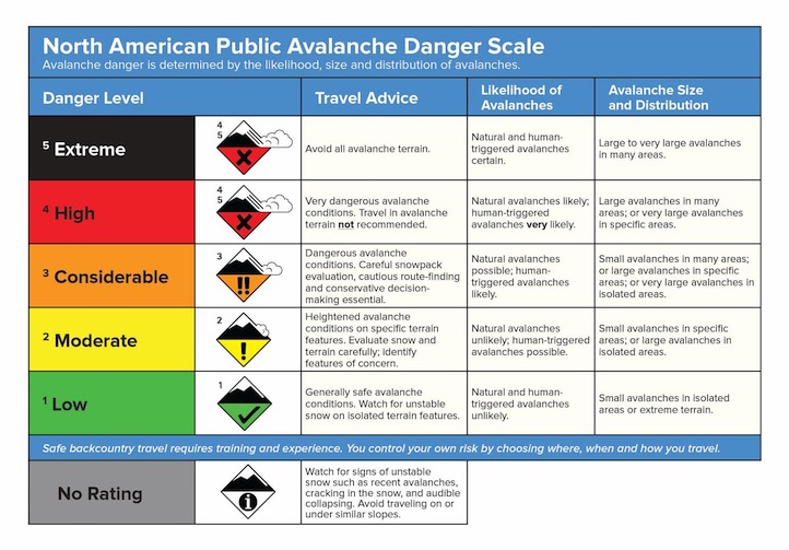
New snow, wind, and avalanches…there’s not a whole lot else we need to know. Collapsible weak layers are underneath this new load on many slopes, making large and dangerous avalanches likely. For today I’d call the avalanche danger HIGH on all windloaded slopes and CONSIDERABLE on all other slopes. Be aware that this windloading will not necessarily be confined to the usual ridgetop locations. Strong lower elevation winds from yesterday and last night likely created dangerous conditions on many slopes, especially on the lee sides of gullies and other terrain features.
UPCOMING EVENTS
Make plans to attend the 28th Annual Pinhead Classic Telemark Festival on March 14th at Bridger Bowl. This year’s theme is “The Olympics” with events for all ages and all abilities. Prizes are awarded for everything but the fastest time and all proceeds benefit the Friends of the Avalanche Center. A registration fee of $30 gets you a ½ -day rate lift ticket, t-shirt, commemorative pint glass, multiple laps on the dual slalom course, numerous prizes and awards, and dinner, dancing, and live music at the Emerson that evening. Visit www.pinheadclassic.com for more information.
Mark will issue the next advisory tomorrow morning at 7:30 a.m. If you get out in the backcountry give us a call or send us an email with your observations. You can reach us at 587-6984 or at mtavalanche@gmail.com.