Good morning. This is Mark Staples with the Gallatin National Forest Avalanche Advisory issued on Sunday, March 8th, at 7:30 a.m. The Community Food Co-Op in cooperation with the Friends of the Avalanche Center, sponsor today’s advisory. This advisory does not apply to operating ski areas.
Yesterday was clear and sunny, and no snow fell overnight but started this morning and 6 inches have already fallen at Bridger Bowl. At 4 a.m. mountain temperatures were near 10 degrees F and strong southerly winds were blowing 15-30 mph. These winds have not been confined to ridgetops and have been blowing at all elevations. With an approaching arctic cold front temperatures should stay near 10 degrees F. Winds will remain strong at 20-25 mph shifting to the southwest and slowly decreasing later this evening. The storm today keeps looking better for snowfall. By tomorrow morning 4-6 inches of snow will accumulate over most of the area, though heavier snowfall may occur if this storm continues to develop.
The Bridger, Gallatin and Madison Ranges, the Lionhead area near West Yellowstone:
Recent heavy snowfall, strong winds, and a generally weak snowpack have produced many natural and human triggered avalanches. We have received reports of avalanches throughout the Bridger Range on different aspects and elevations, in the Little Bridger area of Lone Peak, on Cedar Mountain, and on Buck Ridge. Many other avalanches likely occurred but were not seen or reported. Some of these slides occurred during last week’s storm while many others occurred once strong winds began transporting new snow to the lee sides of ridges and gullies. These slides have occurred on a variety of aspects where the primary factor was wind loading. Many non wind loaded slopes did not slide naturally but lie waiting for a human trigger to initiate an avalanche. See photos of some of these avalanches at: http://www.mtavalanche.com/photos/photos.php
Riding on Buck Ridge yesterday, my partner and I investigated the avalanche that partially buried a snowmobiler on Thursday and dug numerous snow pits. We found very similar conditions to what I found in Sunlight Basin of the Taylor Fork area on Thursday. The primary weakness is a combination of small facets buried on February 15th and 24th. On south facing slopes this layer is easy to find near an ice crust now buried about 1.5 ft deep. On north facing slopes this layer is more difficult to find and is buried about 2-3 ft deep.
The trouble is that considerable variability exists throughout the area; however, recent avalanches demonstrate the persistent nature of this weak layer and its ability to produce avalanches. This layer is not the only one of concern. Other slopes have weak snow throughout and you will sink to the ground if you step out of you skis or off your snowmobile. Mt Ellis has snow like this, and skiers experienced widespread collapsing in this area on Friday on NON wind loaded slopes.
Facets near the ground continue to haunt us. Doug and Karl found this layer propagating fractures in their stability tests on Lionhead, and the Moonlight Basin Ski Patrol triggered an avalanche that stepped down on this layer producing an avalanche almost 10 ft deep on their north facing terrain. For today strong winds and rapid loading from this storm will mean natural and human triggered avalanches are likely on wind loaded slopes where the danger is HIGH. All other slopes have a CONSIDERABLE avalanche danger.
The mountains around Cooke City and the Washburn Range:
The mountains near Cooke City have consistently received more snow. This means two things. The weak layers responsible for avalanches in the rest of the area are a bit stronger and not widespread near Cooke City, but more snow tends to create more avalanches. For today wind loaded slopes a have a CONSIDERABLE avalanche danger while all other slopes have a MODERATE avalanche danger.
UPCOMING EVENTS
Make plans to attend the 28th Annual Pinhead Classic Telemark Festival on March 14th at Bridger Bowl. This year’s theme is “The Olympics” with events for all ages and all abilities. Prizes are awarded for everything but the fastest time and all proceeds benefit the Friends of the Avalanche Center. A registration fee of $30 gets you a ½ -day rate lift ticket, t-shirt, commemorative pint glass, multiple laps on the dual slalom course, numerous prizes and awards, and dinner, dancing, and live music at the Emerson that evening. Visit www.pinheadclassic.com for more information.
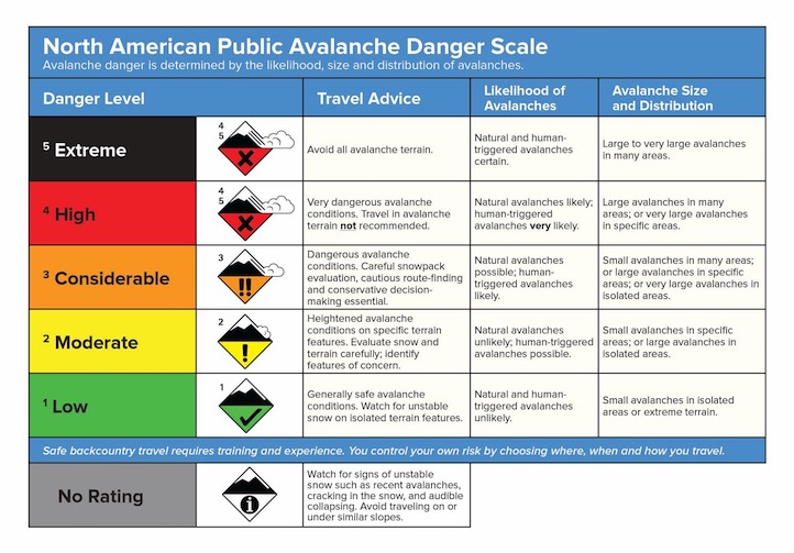
NEW DANGER SCALE
The avalanche danger scale is being revised for next winter. We value your thoughts, so please help with this project by completing a short survey found on the following link:
http://surveys.globalepanel.com/wix/p319164581.aspx
I will issue the next advisory tomorrow morning at 7:30 a.m. If you get out in the backcountry give us a call or send us an email with your observations. You can reach us at 587-6984 or at mtavalanche@gmail.com.