Good Morning. This is Doug Chabot with the Gallatin National Forest Avalanche Advisory issued on Tuesday, December 8 at 7:30 a.m. ProLite Gear, in cooperation with the Friends of the Avalanche Center, sponsor today's advisory. This advisory does not apply to operating ski areas.
How cold is it? It's so cold that I had to put my hands in the freezer to warm them up. Yesterday, the coldest temperatures were -25 at the crest of the Bridgers. Current temperatures range from -2 near West Yellowstone to -22 in the Bridgers. Winds are currently calm but will start blowing out of the west-southwest at 20 mph later today. The only precipitation was in the mountains around Cooke City and West Yellowstone where a trace to one inch of snow fell. An arctic high pressure system will keep skies sunny and the air chilly. Mountain temperatures will only rise to single digits below zero before dropping again tonight.
In October I sat through an El Nino lecture by a meteorologist explaining how warm and dry it would be into December. Yeah, right. He's eating crow while we freeze out fanny's off and ski in snows that are 117-125% of normal around Bozeman (only 50-70% near West Yellowstone).
The Bridger, northern Gallatin, northern Madison Ranges and mountains around Cooke City:
The cold temperatures are easily turning the top six inches of snow into sugary facets. These newly metamorphosed grains will be a problem throughout our advisory area since they are inherently weak. East winds over the weekend created wind drifts in the northern mountains that are in unusual places. Even a dog walker on skis at Story Hills outside Bozeman yesterday got a big "whumpf" as she collapsed the slope and propagated a nine-inch deep fracture that ran 60 feet. I think dog walkers are the only ones in the mountains right now. With brutal cold and no new snow we have not gotten any observations from the higher elevations.
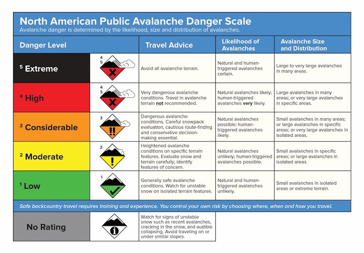
The mountains around Bozeman have 3 feet of supportable snow, but winds over the weekend created slabs which could still avalanche. Big Sky, and also Cooke City, have a slightly weaker snowpack of facets layered between strong crusts. Near Lone Peak winds created drifts which avalanched naturally in Beehive Basin on Sunday. Today, without any new snow and calm winds the avalanche danger is rated MODERATE on all slopes.
The southern Gallatin and southern Madison Ranges, the Lionhead Area near West Yellowstone:
As Eric and I drove to Lionhead on Sunday we got concerned with how shallow the snow depths were south of Big Sky. Cold temperatures have rapidly changed this thin snowpack into sugary, weak facets-a poor foundation for the eventual snows. We rode sleds and skied into Lionhead digging pits on different aspects. The depths varied between one and two feet, but the layers were all the same: facets on top of more facets.
Picture of snowpit: http://www.mtavalanche.com/images/09/weak-snowpack-lionhead
A layer of well developed facets only an inch thick can cause us heartburn, but 24 inches? Whoa. It's about as bad a snowpack as I can remember. Two feet of sugary, unbonded snow won't stand a chance when the snows finally come. I'm bracing myself for the avalanche danger to rocket upwards. I have no reason to believe that Bacon Rind, Taylor Fork and Teepee Basin in the southern ranges are any better. These mountains have an anemic snowpack with feeble strength. But weak snow does not automatically mean unstable snow. It's missing a key ingredient, the slab. That will eventually change when it begins to snow again, but for today the avalanche danger is rated LOW.
I will issue the next advisory tomorrow morning at 7:30 a.m. If you get out in the backcountry give us a call or email with your observations. You can reach us at 587-6984 or email us at mtavalanche@gmail.com.
TWITTER UPDATES
When we find interesting snowpack conditions or hear of avalanche activity we send out tweets. This gets you information quicker than waiting for the next morning's advisory. Check out our latest at: http://www.mtavalanche.com/twitter or http://twitter.com/avalancheguys
AVALANCHE EDUCATION
1. BUTTE: On Wednesday, December 9 at 6pm a FREE one hour Avalanche Awareness Workshop will be offered at Redline Sports. Call Redline for more information at 406-782-9129
2. GREAT FALLS: On Saturday, December 12 at 10am until 3pm a FREE Avalanche Awareness Workshop will be offered at the Fish and Game Office in Great Falls. This class will have multiple presentations covering terrain, avalanches, weather, rescue, and human factors.
3. BOZEMAN: On Tuesday, December 15 at 7pm there will be a FREE one hour Avalanche Awareness Lecture at the Bozeman Public Library.
4. WEST YELLOWSTONE: TWO DAY GUIDES COURSE. On Thursday, December 17, (noon-5pm) at the Holiday Inn is an afternoon of avalanche lectures. Friday, December 18, will be in the field. Registration is NOT required. More info at: http://www.mtavalanche.com/education/classes/snowmobilers
5. BOZEMAN: Montana Outdoor Science School is offering a Level 1 Avalanche Course January 7-10. For more information, contact Moss at 406-582-0526.