Good Morning. This is Eric Knoff with the Gallatin National Forest Avalanche Advisory issued on Sunday, December 20 at 7:30 a.m. The Yellowstone Club, in cooperation with the Friends of the Avalanche Center, sponsor today's advisory. This advisory does not apply to operating ski areas.
In the past 24 hours a trace to one inch of new snow has fallen in the northern Gallatin and Madison Ranges along with the Bridgerss while no new snow has fallen in the southern ranges. This morning temperatures are on the warm side with lows in the upper 20's and ridgeline winds are blowing out of the west at 15-25 mph.
Today, an existing ridge of high pressure will break down giving way to a more unsettled weather pattern. Pacific moisture will move in from the west and combine with cold air from the north producing widespread snow showers starting this afternoon and continuing through Monday. The Bridgers and northern Gallatin Range can expect to see 4-6 inches by Monday afternoon while the northern Madison Range and mountains around West Yellowstone and Cooke City will pick up 2-4 inches. Winds will become strong out of the W-NW at 20-30 mph with the arrival of this storm.
The southern Gallatin Range, the entire Madison Range, the Lionhead Area near West Yellowstone, the mountains outside Cooke City and the Washburn Range:
The new snow that has fallen around Big Sky, West Yellowstone and Cooke City over the past week is now sitting on top of an extremely weak, faceted snowpack. I like to use the analogy of a lead safe sitting on wine glasses, which is now the situation we are in. Any slope that has received wind loading over the past week is poised and ready. An inch or two of new snow, strong winds or a human trigger will be all it takes to produce avalanches.
Yesterday, a skier in the Cooke City area reported a large amount of cracking and collapsing, obvious signs of an unstable snowpack. On Friday, Mark taught an avalanche awareness class in the Lionhead area outside of West Yellowstone and experienced similar signs of instability. Cracking and collapsing along with clean easy shears on his stability tests were all prime examples that this snowpack is severely unstable.
In the Northern Madison Range the Big Sky and Moonlight Ski Patrols reported a relatively calm day in area with no major avalanches being triggered by ski cuts or explosives. Outside of the ski area boundaries conditions are different. Hard slabs sitting over a weak layer of facets do exists and will release with the proper amount of stress. The Moonlight Ski Patrol also reported finding a nice layer of surface hoar forming mainly below treeline. With more snow and wind on the way this surface hoar layer will be something to pay attention to over the days and weeks to come.
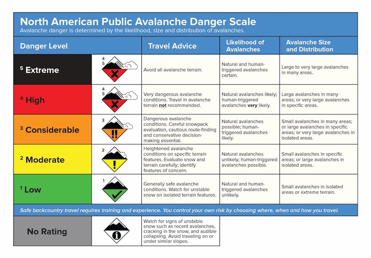
Today, human triggered avalanches are probable and the avalanche danger is rated CONSIDERABLE.
The Bridger and northern Gallatin Ranges:
The Bridgers and northern Gallatin Range have received less snow in the past week adding less stress to the snowpack. However, this does not mean that more strength has been added to the snowpack. Hard slabs sitting over a weak layer of facets remain prevalent throughout both ranges. To make matters worse a good layer of surface hoar has developed on E-NE facing slopes in both the Bridgers and northern Gallatin Range. New snow avalanches over the next few days could initiate on this surface hoar layer creating enough stress to step down and propagate fractures on the hard slabs below. New snow could also cap this pesky weak layer making it a problem for weeks to come.
Yesterday I skied Mt Ellis and found marginal conditions at best. 40 inches of settled base exist on the upper slopes with half that amount down low. Punchy, unsupportable conditions made for strenuous skiing up high and downright scary conditions in the forest. No major slab-facet combinations were discovered on the upper slopes, but a thick layer of surface hoar has formed on the upper mountain.
See photo of Mt Ellis Surface Hoar - http://www.mtavalanche.com/images/09/mt-ellis-surface-hoar
Today a CONSIDERABLE avalanche danger exists on all wind loaded slopes. All other slopes have a MODERATE avalanche danger.
I will issue the next advisory tomorrow morning at 7:30 a.m. If you get out in the backcountry give us a call or email with your observations. You can reach us at 587-6984 or email us at mtavalanche@gmail.com.