Good Morning. This is Eric Knoff with the Gallatin National Forest Avalanche Advisory issued on Sunday, December 6 at 7:30 a.m. Sweet Pea's Nursery, in cooperation with the Friends of the Avalanche Center, sponsor today's advisory. This advisory does not apply to operating ski areas.
A moist cold front has descended from Canada, delivering snow and cold temperatures to southwest Montana. Since yesterday morning three more inches fell in the Bridgers bringing the storm total to 12" above 8,500 ft with 6 inches falling on the lower elevations. The northern Gallatin Range received a total of 5 inches while the mountains around Big Sky picked up 2 inches with West Yellowstone and Cooke City only receiving a trace. Strong winds also arrived with this storm blowing 15-25 mph out of the N-NE. This moisture-laden cold front will exit our area by this afternoon giving way to drier and much colder conditions. Temperatures will hover around zero today with lows reaching 15-20 below zero for the next few nights. Winds will continue to blow 10-20 mph out of E-NE. These winds will generate dangerous wind chills as cold as 35 below zero, by far the coldest we've seen this season.
The Bridger, northern Gallatin, and northern Madison Ranges:
The Bridger Range received the Brunt of this storm. Favored by the north-northwest flow, the Bridgers picked up a foot of new snow. The northern Gallatin Range received close to half of that. Because this storm came in cold the snow density was relatively light keeping the overall stress on the existing snowpack to a minimum. However, strong winds have moved much of this snow around, scouring some areas while depositing hard wind slabs on others. On many slopes these newly formed wind slabs are sitting on weak faceted snow making them easy to trigger. With numerous skiers in the Bridgers triggering sensitive wind slabs 6-10 inches deep on Friday, you can be sure these wind slabs will be deeper and more dangerous today. Although the mountains around Big Sky have received less snow, strong winds continue to load slopes.
Yesterday 150 participants showed up at Bridger Bowl for the basic avalanche awareness field session. We traveled north of Alpine chairlift to south facing slopes around 8,000 ft. We found 70 cm of settled base with the weakest layers being near the surface. A thin layer of faceted snow sitting under a wind crust 8" inches below the surface was the layer of most concern. We got easy shears on this layer indicating it will be a problem when more weight is added.
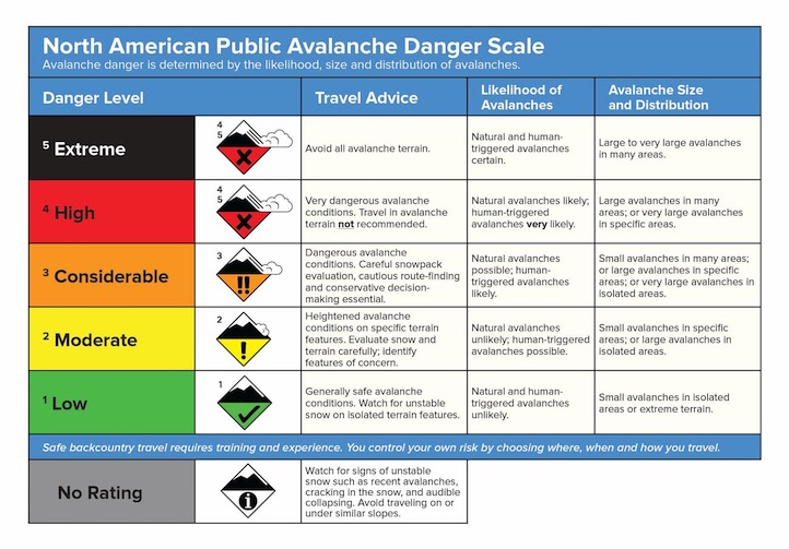
Today, a CONSIDERABLE avalanche danger exists on recently wind loaded slopes where wind slabs will easily fracture under the weight of a skier or rider. All other slopes have a MODERATE avalanche danger.
The southern Gallatin and southern Madison Ranges, the Lionhead Area near West Yellowstone, the mountains around Cooke City and the Washburn Range:
The southern Madison Range and areas near West Yellowstone have a thinner and weaker snowpack. With little to no snow from this past storm, we are not expecting much avalanche activity. With the coldest temperatures of the season coming up, the snowpack will continue to lose strength posing an even greater problem when snow does arrive. We will update conditions as we receive more data.
The mountains around Cooke City hold a deeper snowpack. On the north facing slopes the snow is deep and relatively strong. South facing slopes have a shallower and weaker snowpack consisting of numerous layers of faceted snow and crusts. These south and west facing slopes will become more of a concern once more snow falls.
AVALANCHE EDUCATION
1. On Wednesday, December 9 at 6pm a FREE one hour Avalanche Awareness Workshop will be offered at Redline Sports in Butte. Call Redline for more information at 406-782-9129
2. On Saturday, December 12 at 10am until 3pm a FREE Avalanche Awareness Workshop will be offered at the Fish and Game Office in Great Falls. This class will have multiple presentations covering terrain, avalanches, weather, rescue, and human factors.
I will issue the next advisory tomorrow morning at 7:30 a.m. If you get out in the backcountry give us a call or email with your observations. You can reach us at 587-6984 or email us at mtavalanche@gmail.com.